Opioid Environment Policy Scan
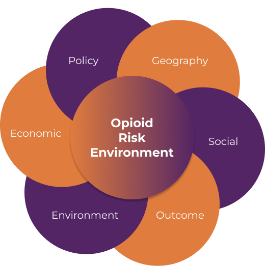
An open data warehouse, mapping platform, and data ecosystem that explores the multi-dimensional risk environment, from neighborhoods to states, impacting opioid use and health outcomes across the United States.
Updates: We recently identified some errors in 2025 travel time metrics. The corrected, updated metrics will be released with Version 2.3, scheduled for the end January 2026. We apologize for any inconvenience caused. Please contact us with any questions; we are happy to share an updated file with individuals sooner, as needed. You are also invited to join the GCCP, where future updates to the OEPS platform will be shared via newsletter. Posted: 12/23/2025
Data
Access data by theme or spatial scale and explore our methdology.
Insights
Learn about the OEPS, code resources, and research insights .
The OEPS data ecosystem was designed to support research seeking to study environments impacting and impacted by opioid use and opioid use disorder (OUD), inform public policy, and reduce harm in communities nationwide. It provides access to data at multiple spatial scales and time periods, already cleaned, merged, and documented. Read more about the project, our methodology, and insights.
OEPS is led by the Healthy Regions and Policies Lab, based at the Department of Geography & GIScience at the University of Illinois at Urbana-Champaign. It was developed for the Justice Community Overdose Innovation Network (JCOIN), a NIH HEAL Initiative, as part of the Methodology and Advanced Analytics Resource Center at the University of Chicago.